


What Is a Centroid?
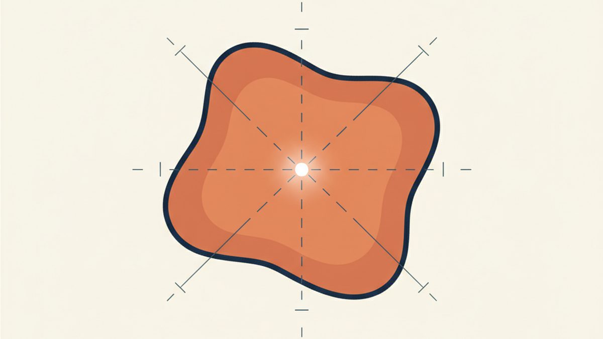
A centroid is the geographic centre point of a defined area. If you were to draw an outline around a postcode, a town or a county on a map, the centroid would be the single point that sits at the middle of that shape. It is expressed as a pair of coordinates: a latitude and a longitude.
Centroids are widely used in mapping, logistics, urban planning and data analysis. They provide a simple, consistent way to represent an area as a single point. Rather than describing the full boundary of a region, which might contain thousands of coordinate pairs, a centroid gives you one location that summarises where that area sits on the map.
How Are Centroids Calculated?
The most common method is to take the arithmetic mean of all the coordinates that make up an area's boundary. For a simple shape like a rectangle, the centroid is exactly where the diagonals cross. For irregular shapes, which is what most real world geographic boundaries look like, the calculation averages all the boundary points to find the geometric centre.
In some cases, centroids are weighted. A population-weighted centroid, for example, shifts the centre point towards where most people actually live. This can be more useful than a purely geometric centre, particularly for large rural areas where the geographic middle might be an empty hillside rather than a town.
Postcode Centroids
Every postcode on our site has a centroid. When you look up a postcode like SW1A 1AA, the latitude and longitude we display represent the centre point of all the delivery addresses within that postcode. Since a typical UK postcode covers around 15 addresses, the centroid usually falls very close to the middle of the street or group of buildings that the postcode serves.
We use postcode centroids for several features across the site. The distance calculator works by measuring the straight line distance between two postcode centroids. When we show nearby postcodes, we calculate which centroids are closest to the one you are viewing. The coordinates shown on each postcode page are the centroid values, and these are the same coordinates used when we plot a postcode on a map.
Town and Place Centroids
Towns, villages and cities also have centroids. For our town pages, the centroid represents the geographic centre of the built up area. This is calculated from the boundaries of the settlement rather than from a single postcode.
Town centroids help us organise location based features. When you visit a town page, the nearby schools and train stations listed are sorted by their distance from the town's centroid. The same applies to nearby towns, which are ordered by how far their centroid sits from the one you are viewing.
Counties, Districts and Postcode Areas
At a larger scale, we use centroids for counties, local authority districts and postcode areas. These are broader regions, so the centroid serves as a representative point rather than a precise location. The centroid of a county like Devon, for example, falls roughly in the middle of the county even though most of the population lives along the coast and in the south.
For postcode areas, which are the one or two letter prefixes like M for Manchester or SW for South West London, the centroid gives a quick reference point for the general area covered. This is useful for understanding the geographic spread of the UK postcode system without needing to examine every individual postcode within the area.
Why This Matters
Centroids are not perfect. They are approximations by design. A centroid will never tell you the exact location of a specific house or building. For a large, irregularly shaped area, the centroid might even fall outside the boundary itself, such as in the sea for a crescent shaped coastal district.
Despite these limitations, centroids are extremely useful. They allow us to perform distance calculations, sort results by proximity, display map markers and provide coordinates for every level of the UK's geographic hierarchy. Without centroids, much of the location based functionality on this site would not be possible.
When you see coordinates on any page of Postcodes UK, whether for a single postcode, a town or an entire county, you are looking at a centroid. It is the simplest and most consistent way to answer the question: where is this place?