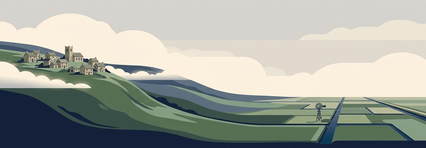
The Highest and Lowest Places to Live in Britain
Some Britons live more than 400 metres up, in villages that spend winter in the clouds. Others live below the level of the sea, kept dry by pumps. We mapped the elevation of 1.8 million postcodes to find the highest and lowest places you can call home.
Read More