


Most of us picture Britain as a place of hills and high streets safely above the waves. For a surprising number of addresses, that is not quite true. We hold an elevation figure for every one of the 1.8 million postcodes in the country, and when you sort them from the bottom up, hundreds of them turn out to sit below sea level, protected from the water by nothing more than pumps, banks and centuries of engineering.
How We Measured It
Each postcode in our database has an elevation, sampled at its central point from a global elevation dataset and rounded to the nearest metre. That means the figures describe the ground at the middle of the postcode, not the lowest doorstep or the top of a flood bank. Across all 1.8 million postcodes, the ground ranges from a high of 718 metres up in the Scottish mountains down to around 5 metres below sea level, with several hundred postcodes sitting at or below the zero mark.
The Land Below the Sea
The very lowest postcodes share a common history: they are all built on land that used to be water. The bottom of the list is a tie at roughly five metres below sea level, and the locations are telling.
Where the lowest postcodes are
- The Cambridgeshire Fens drained marshland, the largest cluster of below-sea-level postcodes in Britain
- London Docklands reclaimed dockland around E14 in Tower Hamlets, now home to skyscrapers
- Belfast Harbour reclaimed land on the edge of the city
It is a strange pairing. The lowest ground in the country is split between remote agricultural fenland and the glass towers of Canary Wharf, two places that could not look more different but share the same basic fact: the sea, or the marsh, was here first, and people pushed it back.
The Fens: Drowned by Drainage
No part of Britain sits lower, more often, than the Fens of Cambridgeshire and south Lincolnshire. The district of Fenland alone contains more below-sea-level postcodes than anywhere else, followed closely by Huntingdonshire and East Cambridgeshire.
| District | Below-sea-level postcodes |
|---|---|
| Fenland, Cambridgeshire | 92 |
| Huntingdonshire | 63 |
| East Cambridgeshire | 53 |
| East Lindsey, Lincolnshire | 25 |
| Tower Hamlets, London | 10 |
| Great Yarmouth, Norfolk | 10 |
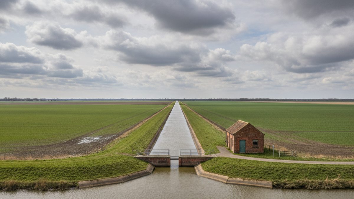
There is a cruel irony in how the Fens got so low. They were drained from the 17th century onwards to create some of the most fertile farmland in England. But as the waterlogged peat dried out, it shrank and wasted away, and the ground sank year after year. Drain the land to use it, and the very act of draining it drops it further below the water it is trying to keep out. Today the Fens survive only because of a constant, unglamorous network of pumping stations and drainage channels working around the clock.
The Lowest-Lying Towns
Looking at average elevation across whole towns rather than single postcodes, the lowest places in the country are exactly where you would now expect.
| Area | Average elevation |
|---|---|
| South Holland, Lincolnshire | 3.4 m |
| Kingston upon Hull | 3.8 m |
| Fenland, Cambridgeshire | 4.0 m |
| Arun, West Sussex | 9.2 m |
| Portsmouth | 9.4 m |
Hull stands out as the one large city on the list, sitting on average less than four metres above the sea on the flat ground beside the Humber estuary. Portsmouth, the only island city in the UK, is not far behind. These are not obscure villages; they are home to hundreds of thousands of people living on ground barely above the tideline.
Why Low Ground Matters
Elevation is not just a curiosity. Low-lying ground is the ground most exposed to flooding, whether from the sea, from rivers, or from the rain that has nowhere to drain away. The places at the bottom of our rankings are precisely the places that depend on flood defences, and that have the most to lose as sea levels slowly rise. Hull suffered serious floods in 2007, and the Fens live with the permanent knowledge that the pumps must never stop.
You can check the elevation of any postcode with our elevation lookup tool, see how areas compare in the elevation rankings, or look at exposure to rising seas with the sea level rise checker.