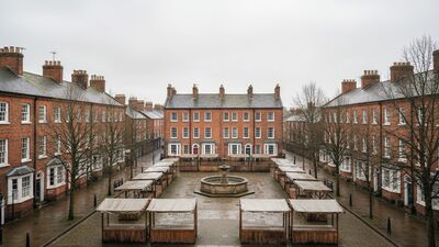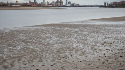
Merseyside by the Numbers: Heswall to Liverpool
A data portrait of Merseyside: 1,519,842 people across 57 postcode districts, average prices, the cheapest and dearest corners, deprivation and schools.
Read MoreArticles filed under Places
A data portrait of Merseyside: 1,519,842 people across 57 postcode districts, average prices, the cheapest and dearest corners, deprivation and schools.
Read MoreA data portrait of Reading: 860,296 people across 30 postcode districts, average prices, the cheapest and dearest corners, deprivation and schools.
Read MoreA data portrait of Brighton: 836,968 people across 37 postcode districts, average prices, the cheapest and dearest corners, deprivation and schools.
Read MoreA data portrait of Hertfordshire: 1,378,888 people across 51 postcode districts, average prices, the cheapest and dearest corners, deprivation and schools.
Read MoreA data portrait of Cheshire: 1,354,237 people across 41 postcode districts, average prices, the cheapest and dearest corners, deprivation and schools.
Read MoreA data portrait of Leicester: 1,085,679 people across 26 postcode districts, average prices, the cheapest and dearest corners, deprivation and schools.
Read More