Postcode Giants and Miniatures: The Biggest and Smallest Districts in Britain
Shetland's ZE2 stretches 99 miles from end to end. London's NW1W spans about 450 metres. Same postage stamp, wildly different worlds.
Read MoreArticles filed under UK Geography
Shetland's ZE2 stretches 99 miles from end to end. London's NW1W spans about 450 metres. Same postage stamp, wildly different worlds.
Read MoreThe northernmost, southernmost, easternmost and westernmost postcodes in the country, plus the surprising address that sits at the statistical centre of it all.
Read MoreThere are more than 350,000 different street names in Britain, but a handful turn up again and again. We counted them all to find the most common street name in the country, and the answer says a lot about how our towns were built.
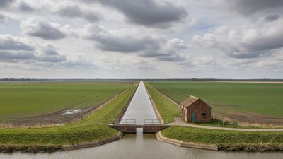
Read MoreWe checked the elevation of all 1.8 million UK postcodes. Hundreds sit below sea level, kept dry only by pumps and embankments, and they cluster in three very different corners of the country: the Fens, the Humber, and the reclaimed docks of our biggest cities.
Read MoreWe sorted all 43,000 settlements in our database by the endings of their names. The result traces the Viking frontier across England with startling precision: a thousand-year-old border you can still read on a road sign.
Read MoreThe long-running argument over England's highest village doesn't have a tidy answer. Our elevation data for every settlement in the country throws up 20 places sitting above 400 metres, from the lead-mining hamlets of the North Pennines to the windswept streets of Dartmoor.
Read MoreWe put a different UK postcode under the microscope every day at 12:30, and post every new data study as it lands. Follow along on Facebook.
Follow on Facebook