A Tale of Four Nations: Deprivation Across the UK
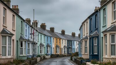
Each UK nation measures deprivation its own way. We brought all four official indices together to show the most and least deprived corners of England, Scotland, Wales and Northern Ireland.
Read MoreArticles filed under Data
Each UK nation measures deprivation its own way. We brought all four official indices together to show the most and least deprived corners of England, Scotland, Wales and Northern Ireland.
Read MoreWe mapped every recorded road collision in Great Britain to postcode areas to find where, relative to the people who live there, the roads see the most crashes.
Read MoreUsing NHS organisation data we counted the GP surgeries in every English postcode area and weighed them against population to find where a doctor is easiest, and hardest, to come by.
Read MoreCensus 2021 age data, mapped by postcode area, reveals a sharp split between the retirement coast and the young commuter suburbs.
Read MoreWe took every Ofsted-rated school in England and worked out, area by area, what share carry the top grade of Outstanding. The map is sharper than you might expect.
Read More