


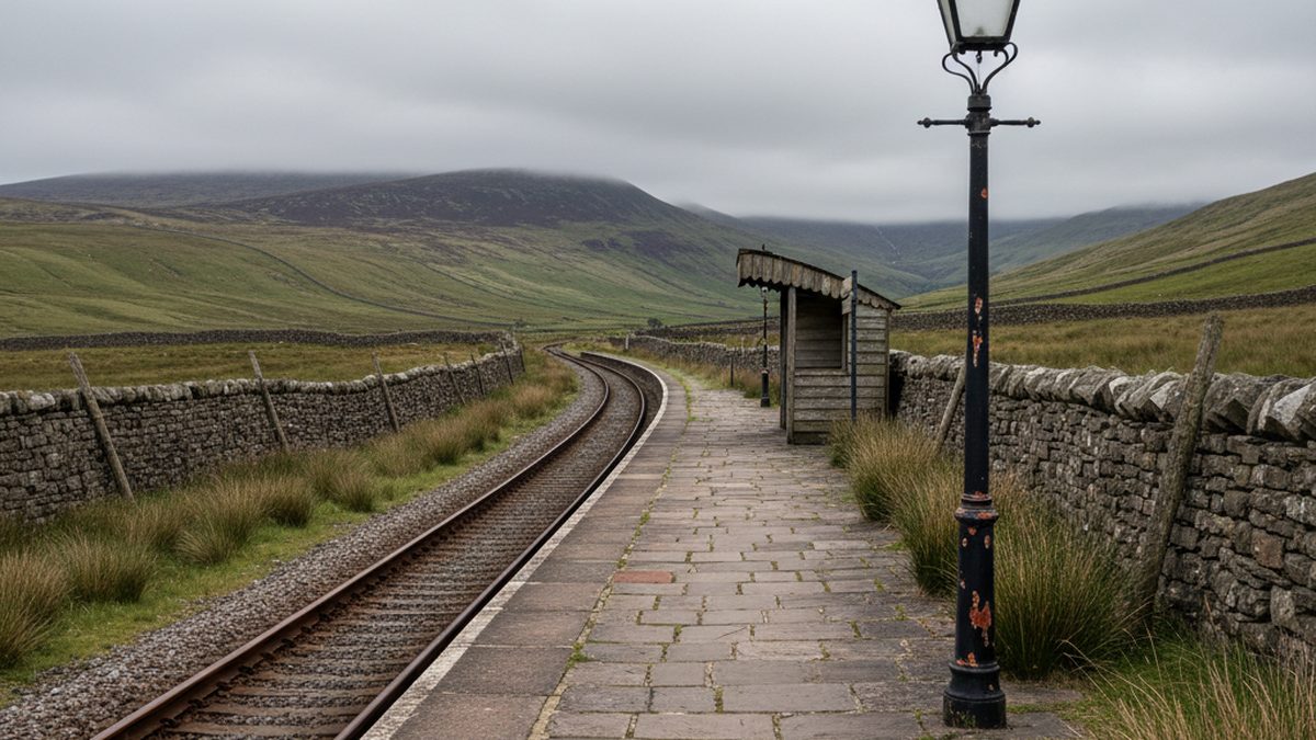
The railway shaped modern Britain more than almost any other piece of infrastructure. So we asked a simple question of our data: how far does the average person actually live from a train? We took the location of every National Rail station in Great Britain, around 2,200 of them once we matched each to a precise set of coordinates, and measured the straight-line distance from the centre of every populated postcode district to its nearest platform. The answers are reassuring in the middle and genuinely surprising at the edges.
How We Measured It
For every postcode district with a recorded population we found the closest station and calculated the great-circle distance to it. A few honest caveats. This is straight-line distance, not travel distance, so a station two kilometres away across a river or a mountain might be a much longer journey in practice. We used National Rail stations in Great Britain, which means the analysis covers England, Scotland and Wales. Northern Ireland has its own separate network run by Translink, which is not in this dataset, so we have left it out of the rankings rather than wrongly label it as cut off. Light rail, trams and underground-only stops are also excluded.
The National Picture
The headline is that Britain is, for the most part, remarkably well connected. Looking at every populated district covering around 63 million people:
Share of the population by distance to the nearest station
- Within 1 km 29.0 percent
- Within 3 km 65.3 percent
- Within 5 km 78.8 percent
- Within 10 km 89.7 percent
Nearly two in three people live within three kilometres of a railway station, a comfortable walk or a short bus ride. Almost nine in ten live within ten kilometres. The Victorian railway boom built a network so dense that, a century and a half and one Beeching report later, most of us are still close to a line.
The Best Connected Places
Some towns are built right around their station. Among districts with more than 20,000 residents, these have a station almost on the doorstep of the geographic centre:
| Outcode | Town | Distance to station |
|---|---|---|
| RG14 | Newbury | 40 metres |
| B33 | Birmingham (Stechford) | 50 metres |
| AL5 | Harpenden | 50 metres |
| WR9 | Droitwich | 60 metres |
| DE55 | Alfreton | 70 metres |
In these places the station sits almost exactly at the heart of the district. If you lived at the centre of Newbury you could practically fall onto the platform.
The Most Isolated Towns
Now the other end. Excluding the islands (which we cover next), these are the most rail-isolated populated districts on the British mainland, ranked by distance from the nearest station:
| Outcode | Town | Nearest station | Population |
|---|---|---|---|
| PA28 | Campbeltown | 52 km | 7,400 |
| AB43 | Fraserburgh | 46 km | 24,000 |
| AB35 | Ballater | 45 km | 2,600 |
| IV27 | Lairg | 41 km | 3,800 |
| EX23 | Bude | 39 km | 15,600 |
| AB42 | Peterhead | 37 km | 33,700 |
Campbeltown, out at the foot of the Kintyre peninsula, is the most rail-isolated town of any size on the mainland. Its nearest station is 52 kilometres away as the crow flies, and a great deal further by the long single road up and around Loch Fyne. The real eye-opener, though, is further down the list. Peterhead, with nearly 34,000 residents, and Fraserburgh, with 24,000, are among the largest towns in the whole of Britain with no railway station at all. Both lost their lines in the 1960s and have relied on the road ever since. In England, Bude in north Cornwall is the standout: a town of more than 15,000 people, a popular seaside resort, and 39 kilometres from the nearest platform.
The Places With No Railway At All
Some communities are not just far from a station, they sit on islands the railway never reached. Shetland, Orkney and the Outer Hebrides have never had a single mile of public railway between them.
Island communities with no railway
- Shetland nearest mainland station around 215 to 230 km away
- Outer Hebrides (Lewis) around 105 to 110 km
- Orkney around 45 to 60 km
For roughly 50,000 islanders, the nearest train involves a ferry crossing before the journey even begins. The Far North Line does reach Thurso and Wick at the very top of the Scottish mainland, which is why Caithness, just across the water from Orkney, stays connected while the islands themselves do not.
Why It Matters
Distance to a station is a quiet but powerful measure of opportunity. It shapes where people can work, how easily they can reach a hospital or a university, and what a place is worth. The towns at the bottom of our list are not failing places, far from it, but they carry a transport disadvantage that rarely shows up in national statistics. Plenty of them, Fraserburgh and Bude among them, sit on lines that were closed sixty years ago and are still occasionally talked about for reopening.
You can explore the stations near any postcode with our train station explorer, or measure the straight-line distance between any two places with the postcode distance calculator, which uses exactly the same method we used to build this article.