


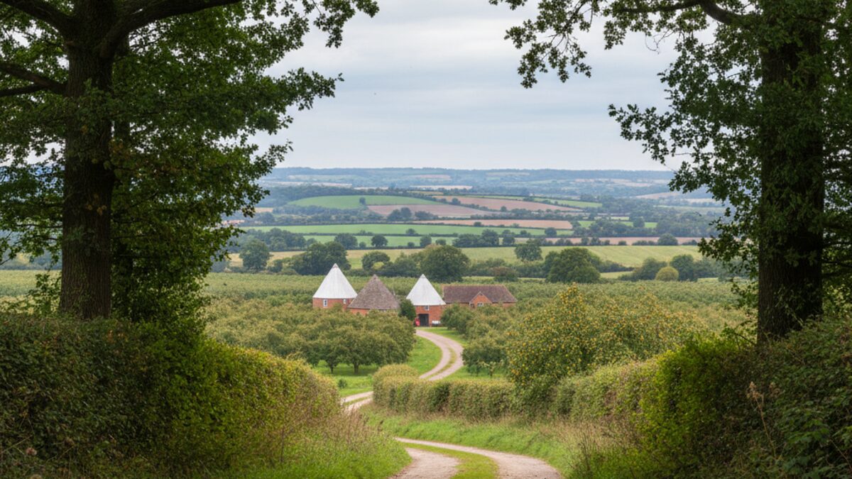
Kent, the Garden of England, is a county of contrasts. From the white cliffs of Dover to the orchards of the Weald, its landscape is as varied as its property market. With a population of around 1,934,087 spread across 76 postcode districts, Kent offers everything from coastal towns to commuter belt villages. The county’s average sale price of £388,992 is 11 per cent above the England and Wales average, a clear sign that living in this corner of the south-east commands a premium. But that headline figure masks a stark chasm between its dearest and cheapest corners.
To understand Kent by the numbers is to see a county of two halves: the leafy, prosperous areas around Sevenoaks and the more affordable, often less affluent, coastal districts. The property map tells the story of a county where postcode can predict price, deprivation and school quality with startling accuracy.
At a Glance
Kent at a glance
- Population: about 1,934,087
- Postcode districts: 76
- Average sale price: £388,992 (+11% vs the England and Wales average)
- Schools rated Outstanding: 13.3% (80 of 602)
Kent is home to about 1,934,087 people across 76 postcode districts. The average sale price is £388,992, which is 11 per cent above the England and Wales average. The most expensive district is TN13 (Sevenoaks) at £848,619; the cheapest is CT17 (Dover) at £221,924, a gap of around 3.8 times. The average Index of Multiple Deprivation decile is 5.5 out of 10, ranging from 3 to 8. Of 602 Ofsted rated schools, 13.3 per cent hold the top grade Outstanding.
The Property Divide
| Postcode district | Average price | |
|---|---|---|
| Most expensive district | TN13 (Sevenoaks) | £848,619 |
| Least expensive district | CT17 (Dover) | £221,924 |
The property divide in Kent is stark. The most expensive postcode district, TN13 in Sevenoaks, commands an average sale price of £848,619 – nearly four times the £221,924 average in CT17, Dover. That is a gap of about 3.8 times, a chasm that reflects not just house size or location but the very different economies of these places. Sevenoaks is a commuter and stockbroker belt area with excellent rail links to London and a strong private sector economy. Dover, by contrast, relies heavily on its port, tourism and a lower-wage service sector. The property map of Kent is thus a map of opportunity and constraint, with the most affordable districts often offering fewer jobs and weaker transport links.
This divide is not just about extremes. The middle ground includes towns such as New Town, Park Wood, South Street, West Street, Broad Street and Maypole, none of which are among the most expensive or cheapest but each with its own local character. The overall average of £388,992, while 11 per cent above the national average, feels modest when set against the Sevenoaks peak. For many buyers, the dream of a Kent home means looking beyond the prime districts to places like Dover, where the lower entry price can be tempting but comes with trade-offs in amenity and earning power.
Rich and Poor
Kent’s wealth divide is measured by the Index of Multiple Deprivation, where a decile of 1 is most deprived and 10 least deprived. The county’s average decile is 5.5, exactly the midpoint. Yet the range across its districts runs from 3 to 8, revealing significant pockets of both deprivation and prosperity. Areas scoring 3, most deprived, are likely to be in parts of coastal towns like Dover (CT17) or Medway towns. Those scoring 8, least deprived, include Sevenoaks and other affluent commuter belt locations. This gap correlates closely with the property divide: the most deprived districts tend to be the cheapest, and the least deprived the most expensive, reinforcing a cycle of advantage and disadvantage.
The deprivation figures are a reminder that statistics can flatten nuance. Within a single postcode district there will be streets of relative comfort and streets of real hardship. But the county-level figures show a clear trend: the Garden of England is no idyll for everyone. The property map and the deprivation map are two sides of the same coin, each telling a story of uneven distribution of resources and opportunity.
Schools
Education in Kent, as measured by Ofsted grades, reflects the same divisions. Of the 602 rated schools in the county, only 13.3 per cent hold the top grade of Outstanding. That figure is below the national average for Outstanding schools in England (around 19 per cent according to recent data), suggesting that Kent’s school system is solid rather than stellar at the top end. However, Outstanding schools are not evenly spread. They tend to cluster in the more affluent areas. For example, Sevenoaks and surrounding towns typically have a higher proportion of top-rated schools, while coastal districts often have fewer. This disparity matters for families moving to Kent: the property you buy can determine the schooling your child receives, reinforcing the link between postcode and life chances.
The 13.3 per cent figure is a snapshot, but it reminds us that school quality is a key factor in the property market. Buyers with children often prioritise catchment areas, pushing up prices near good schools. In Kent, that means the premium for living in areas like TN13 is not just about commuting or house size, but also about access to the best education. The data does not include private schools, which are also heavily concentrated in the wealthier parts of the county.
The Bottom Line
Kent’s property map is a mirror of its social geography. The gap between Sevenoaks and Dover, between a decile of 8 and a decile of 3, between the commuter and the coastal, is wide and persistent. The average price of £388,992 suggests a county that is expensive by national standards, but that average hides a deeply divided market. For first-time buyers, the challenge is to find affordable entry points without sacrificing too much in terms of opportunity and amenity. For investors and homeowners, the key insight is that Kent’s most expensive areas are likely to hold their value, while its cheaper districts offer lower barriers to entry but also greater exposure to economic fluctuations. The Garden of England, for all its beauty and history, is a county of haves and have-nots, and the numbers tell that story plainly.