


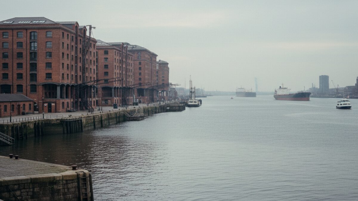
The Liverpool postcode area, known simply as the L postcode, covers more than just the city centre. It stretches from the Mersey waterfront to the leafy suburbs of Formby and Crosby, encompassing 49 distinct districts and nearly 900,000 people. It is a place of sharp contrasts: Victorian terraces stand alongside gleaming new flats, and the hum of the docks gives way to quiet residential streets. For anyone trying to understand Liverpool through its postcodes, the numbers tell a story of division, resilience and surprising value.
At a Glance
Home to roughly 894,335 residents spread across 49 postcode districts, Liverpool's L area is both compact and diverse. The average house price sits at £214,832, a figure that is 38 per cent below the England and Wales average. That makes the city one of the more affordable major urban centres in the country, though the gap between its cheapest and most expensive corners is wide.
Liverpool at a glance
- Population: about 894,335
- Postcode districts: 49
- Average sale price: £214,832 (-38% vs the England and Wales average)
- Schools rated Outstanding: 13.7% (40 of 291)
The Property Divide
If you want to understand Liverpool's property market, look at the extremes. The average sale price across the L area is £214,832, which is 38 per cent cheaper than the England and Wales norm. But that headline figure masks a chasm between the city's most and least expensive postcode districts.
| Postcode district | Average price | |
|---|---|---|
| Most expensive district | L37 (Liverpool) | £381,514 |
| Least expensive district | L4 (Liverpool) | £113,058 |
At the top end sits L37, covering the coastal villages of Formby and Little Altcar, where the average home sells for £381,514. This is prime commuter territory, with sandy beaches, golf courses and good schools. At the other end is L4, which includes parts of Anfield and Everton, where the average price is just £113,058. That is a gap of about 3.4 times. To put it another way, a house in L37 costs almost as much as three houses in L4. The divide reflects not just geography but history: L4 bore the brunt of deindustrialisation and remains one of the most deprived districts in the country, while L37 has long been a haven for those who could afford to move out of the inner city. Yet even the cheapest district offers a foot on the ladder that many in the south of England can only dream of.
Rich and Poor
Liverpool's postcodes also map onto its patterns of wealth and poverty. The average Index of Multiple Deprivation decile across the L area is 4.2 out of 10, where 1 is the most deprived and 10 the least. That places the city well below the national midpoint, a reminder of the legacy of economic change. The districts range from a decile of 1, the most deprived possible, up to 9, which is relatively affluent. No district reaches the top decile of 10, but the spread is still striking. Some of the poorest postcodes lie in the north of the city, around L4 and L5, where deprivation is deep and persistent. Meanwhile, the leafier suburbs such as L37 and L23 (Crosby) score much higher, reflecting better housing, employment and access to services. The gap between rich and poor in Liverpool is not just a statistic; it is etched into the postcode map, visible in the quality of the housing stock, the green spaces and the local shops.
Schools
For families, the quality of local schools is often a deciding factor in where to live. Across the L area, Ofsted has rated 291 schools, of which 13.7 per cent hold the top grade of Outstanding. That is a respectable proportion, though it does not match the highest-performing regions. The best-rated schools tend to cluster in the more affluent postcodes: L37, L23 and parts of L18 (Allerton and Mossley Hill) have several Outstanding primaries and secondaries. In the more deprived districts, the picture is more mixed, with a higher share of schools rated Good or Requires Improvement. The correlation between house prices and school performance is strong, reinforcing the property divide. A family buying in L37 pays a premium not just for the beach but for the school catchment area, while those in L4 may have to work harder to secure a place at one of the better schools outside their immediate neighbourhood.
The Bottom Line
Liverpool's L postcodes offer a microcosm of urban Britain: affordable by national standards, yet deeply unequal within its own boundaries. The average house price is a bargain compared with the rest of England and Wales, but that average conceals a threefold gap between the cheapest and dearest districts. Deprivation is stubbornly high in the inner city, while the suburbs enjoy relative prosperity and better schools. For a buyer or a renter, the choice is often between a cheap terrace in a struggling area or a more expensive home in a leafier postcode with stronger amenities. The numbers do not lie: Liverpool is a city of two halves, and your postcode will tell you which one you belong to. But for those willing to look beyond the averages, there are opportunities in every district, whether you are hunting for a bargain or a bit of seaside calm.