


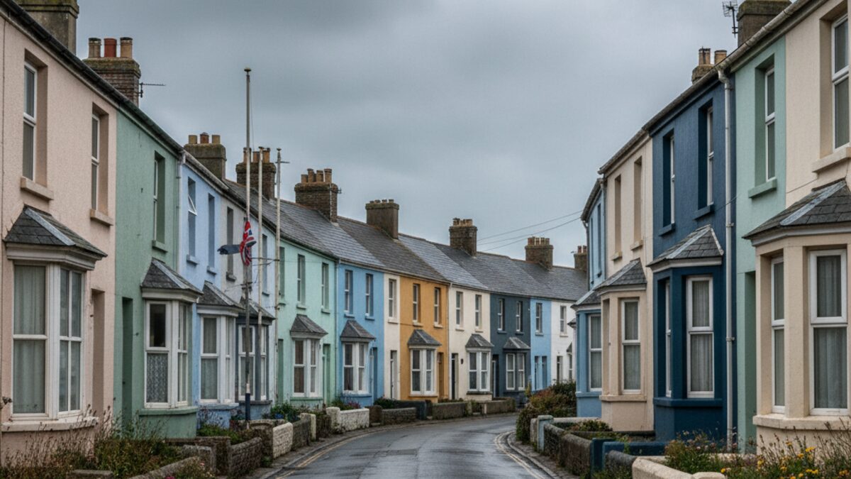
On a quiet, grey morning, a postcode in Jaywick, Essex, might look like any other coastal street: a row of modest houses, a salty breeze from the North Sea, perhaps a dog walker or two. But that postcode also sits at the very bottom of England’s deprivation rankings. Similarly, a street in Rhyl, Denbighshire, in Greenock, Inverclyde, and in the Derry City and Strabane council area would each, within their own nations, be considered the most deprived place in the country. It is a stark, fourfold snapshot of inequality across the United Kingdom.
Four Different Yardsticks
The United Kingdom does not have a single, unified measure of deprivation. Instead, each of its four nations builds its own index, using its own data, its own domains, and its own methodology. The English Indices of Deprivation 2019, the Welsh Index of Multiple Deprivation 2019, the Scottish Index of Multiple Deprivation 2020, and the Northern Ireland Multiple Deprivation Measure 2017 all rank small areas, from most to least deprived, within their own borders. The core idea is the same: to identify pockets of need. But the details diverge.
England’s index, for example, weighs income and employment heavily, but also factors in crime, education, and the living environment. Wales and Scotland include a domain for access to services, while Northern Ireland has its own specific housing and health measures. The result is a set of four parallel ladders, each built to a different blueprint, each leaning against its own wall.
The Extremes
At the very bottom of each ladder, the most deprived small area in each nation is a place that has become a byword for hardship. In England, it is Tendring, and within it the seaside village of Jaywick in Essex. In Wales, it is Denbighshire, and the town of Rhyl. In Scotland, it is Inverclyde, and the town of Greenock. In Northern Ireland, it is the Derry City and Strabane council area.
| Nation | Index | Most deprived area | Least deprived area | Areas ranked |
|---|---|---|---|---|
| England | Indices of Deprivation 2019 | Tendring, CO15 2DL | Buckinghamshire, HP16 0NN | 32,844 |
| Wales | WIMD 2019 | Denbighshire, LL18 1AB | Flintshire, CH7 1EH | 1,909 |
| Scotland | SIMD 2020 | Inverclyde, PA15 1AL | City of Edinburgh, EH3 6BX | 6,976 |
| Northern Ireland | NIMDM 2017 | Derry City and Strabane, BT82 8AR | Belfast, BT4 2AS | 890 |
These are the extremes, the places where the composite score of multiple deprivations is highest. But these are not just numbers; they are real communities, often coastal or post-industrial, where decades of economic change have left deep marks. They are the places that the indices are designed to find.
Why You Cannot Compare Across Borders
Here is the crucial, and often overlooked, caveat. Because each nation builds its index separately, with different domains, different data, and different cut-off points, the ranks are not comparable across borders. A decile 1 area in Scotland is not directly comparable to a decile 1 area in England. The most deprived area in Wales is not, in any objective sense, more or less deprived than the most deprived area in Scotland. The indices are like four different thermometers, each calibrated to its own scale.
This is not a quirk; it is a deliberate choice. Each nation has its own priorities, its own policy context, and its own data sources. The Scottish Index, for instance, uses a different set of indicators for housing than the English one. The Welsh Index includes a domain for community safety that England does not. To try to line them up and declare one area more deprived than another would be to ignore the careful, separate work that has gone into each.
It is a point that is often missed in headlines. When a report says “the most deprived area in the UK,” it is usually referring to the most deprived area in England, because the English index is the largest and most well-known. But that is a simplification. The truth is that each nation has its own most deprived area, and they are not the same thing.
What It Means
So what can we take from these four indices? They are not a single league table of UK misery. They are four separate, deeply detailed maps, each showing where the greatest concentration of need lies within a particular nation. They are tools for local policy, for targeting resources, for understanding the shape of inequality in Birmingham, in Cardiff, in Glasgow, in Belfast. They are not, and cannot be, a tool for comparing the lot of a resident of Jaywick with a resident of Greenock.
The lesson, then, is to read each index with care. To understand that “most deprived” means “most deprived within this country’s own system.” To remember that the figures are a mirror, not a window. And to appreciate that the four nations of the UK, while sharing a landmass and a history, each measure their own deprivation in their own way. The four indices are a testament to that, and a warning against easy, sweeping comparisons.