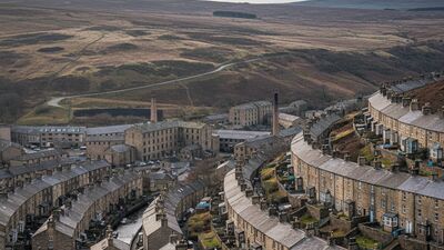
Sheffield in Postcodes: The Peak Edge to the City
A data portrait of Sheffield: 1,389,843 people across 51 postcode districts, average prices, the cheapest and dearest corners, deprivation and schools.
Read MoreArticles filed under Places
A data portrait of Sheffield: 1,389,843 people across 51 postcode districts, average prices, the cheapest and dearest corners, deprivation and schools.
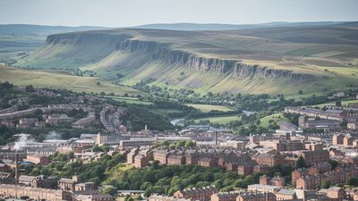
Read MoreA data portrait of West Yorkshire: 2,378,065 people across 81 postcode districts, average prices, the cheapest and dearest corners, deprivation and schools.
Read MoreA data portrait of Essex: 2,177,480 people across 77 postcode districts, average prices, the cheapest and dearest corners, deprivation and schools.
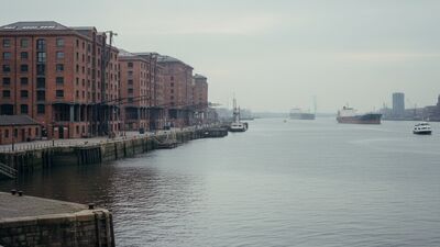
Read MoreA data portrait of Liverpool: 894,335 people across 49 postcode districts, average prices, the cheapest and dearest corners, deprivation and schools.
Read MoreA data portrait of Hampshire: 2,120,918 people across 77 postcode districts, average prices, the cheapest and dearest corners, deprivation and schools.
Read MoreA data portrait of Leeds: 835,424 people across 32 postcode districts, average prices, the cheapest and dearest corners, deprivation and schools.
Read More