



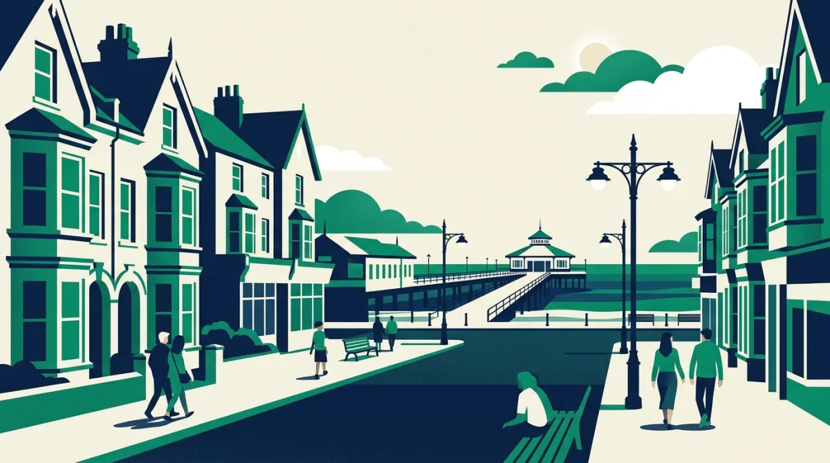
The seaside constituency of Clacton is once again in the spotlight as voters prepare to choose their next MP. Conversations on doorsteps and in high streets have centred on familiar local pressures: access to GPs, the cost of living, and the state of the town centre. These are the granular, everyday concerns that shape a community’s relationship with Westminster.
Yet every constituency tells a different geographical story. Clacton-on-Sea is a compact urban settlement on the Essex coast, its built-up area clearly defined. But step back and the map of Britain’s parliamentary seats reveals a patchwork of wildly contrasting landscapes, from dense city cores to scattered rural hamlets. That variety prompts a simple question: how small can a built-up area actually be within a constituency?
The UK’s smallest built-up areas by sise
| Town | County | Built-up area |
|---|---|---|
| Cradley | Herefordshire | 0.2 km² |
| Collingbourne Kingston | Wiltshire | 0.2 km² |
| Eagle | Lincolnshire | 0.2 km² |
| Hannington | Hampshire | 0.2 km² |
| Farnhill | North Yorkshire | 0.2 km² |
| Ridgmont | Bedfordshire | 0.2 km² |
| Stour Row | Dorset | 0.2 km² |
| High Melton | South Yorkshire | 0.2 km² |
| Heapham | Lincolnshire | 0.2 km² |
| Jealott's Hill | Berkshire | 0.2 km² |
Postcodes UK has analysed built-up area data across the country, and the figures expose remarkable extremes. While many MPs represent sprawling cities, others serve communities where the main settlement is barely a speck on the map. The compact nature of some places means that local services, transport links, and even the character of an election campaign can feel entirely different from what voters experience in a town like Clacton.
What a 0.2 sq km village tells us about constituency diversity
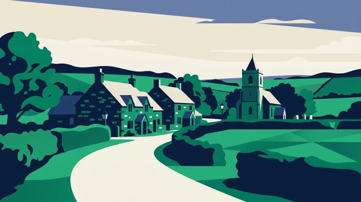
The smallest built-up area in our ranking is Cradley in Herefordshire, covering just 0.2 square kilometres. To put that into perspective, you could walk from one end of the village to the other in a matter of minutes. It is a place where the pub, the church, and the primary school sit almost on top of one another, and where the issues that dominate a by-election in Clacton, such as high street regeneration or pressure on A&E departments, are filtered through a very different lens. Here, the loss of a bus route or the closure of a village shop can feel existential.
This tiny settlement is not an anomaly but a reminder that the UK’s electoral map is stitched together from communities of every conceivable scale. The concerns aired in Clacton are no less valid for being voiced in a larger built-up area, but the data underscores why one-sise-fits-all policymaking so often fails. A candidate knocking on doors in Cradley will hear a distinct set of priorities, shaped by the sheer intimacy of a 0.2 sq km footprint.
As the Clacton campaign enters its final stretch, the national conversation tends to flatten these differences. Yet the built environment, the literal ground beneath voters’ feet, remains one of the most underappreciated factors in political life. From a seaside town with a proud pier to a Herefordshire village smaller than some city parks, the geography of a constituency can define its politics just as much as any manifesto pledge.
The data behind this
Built-up area measurements are sourced from HM Land Registry and ONS census geography products, cross-referenced with the Postcodes UK database of current parliamentary constituency boundaries. Our ranking includes all built-up areas with a recognised official name and fixed extent, allowing direct sise comparisons across England, Scotland, and Wales.
In response to reporting by BBC UK. Analysis and figures by Postcodes UK.