



SAMPAN, the mortgage industry network, has launched a fundraising drive to support communities devastated by severe flooding in Nepal. The appeal calls on brokers, lenders and other property professionals to contribute to emergency relief efforts after heavy monsoon rains triggered landslides and submerged entire villages.
The move underscores a growing awareness within the mortgage sector that climate-related disasters are no longer distant events. As extreme weather becomes more frequent, the industry is being forced to reckon with how flood risk affects property values, insurance premiums and lending decisions much closer to home.
The UK’s lowest-lying postcode district

| District | Post town | Region | Avg elevation |
|---|---|---|---|
| EN77 | Waltham Cross | 0m | |
| GY1 | 0m | ||
| GY2 | 0m | ||
| GY3 | 0m | ||
| GY4 | 0m | ||
| GY5 | 0m | ||
| GY6 | 0m | ||
| GY7 | 0m | ||
| GY8 | 0m | ||
| GY9 | 0m |
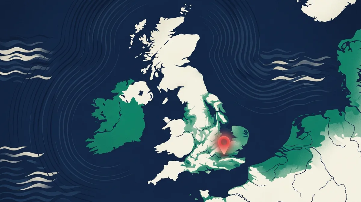
While the Nepal appeal focuses on immediate humanitarian aid, it also prompts a timely question: which parts of the UK are most exposed to flooding by virtue of their elevation? According to Postcodes UK analysis of Environment Agency terrain data, the lowest-lying postcode district in the country is EN77, covering parts of Waltham Cross. The average elevation across this district is just 0 metres above sea level, and even its highest point fails to rise above 0 metres.
That statistic is striking. A postcode district where every square metre sits at sea level leaves homes, businesses and infrastructure with no natural buffer against rising water. In an era of more intense rainfall and storm surges, residents and lenders alike must pay close attention to what that means for long-term property security.
Why elevation data matters for mortgages
The SAMPAN appeal is a reminder that flood risk is not just an environmental issue but a financial one. For mortgage lenders, a property in a district like EN77 could attract higher insurance premiums or even face difficulties securing coverage. That, in turn, affects affordability checks and loan-to-value calculations. Brokers working in low-lying areas may increasingly find themselves advising clients on flood resilience measures or steering them toward properties with better natural defences.
Postcodes UK holds detailed elevation and flood-risk data for every postcode district in the country. By cross-referencing this with Land Registry price paid information and ONS census tenure statistics, we can help lenders spot emerging risk clusters before they become uninsurable. The EN77 example is extreme, but it is not unique. Other districts along the Lea Valley and Thames Estuary also sit perilously close to sea level, though none match the flat zero-metre profile of Waltham Cross.
The data behind this
The elevation figures cited in this article come from the Postcodes UK database, which integrates Environment Agency digital terrain models at postcode-district resolution. Property transaction and tenure data are sourced from HM Land Registry and the ONS census respectively. For more on how we map flood exposure against mortgage lending patterns, explore our flood risk tools or download the full EN77 elevation report.
In response to reporting by Mortgage Solutions. Analysis and figures by Postcodes UK.