



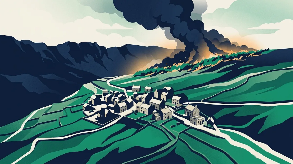
Residents in a Highlands village have spoken of their anger and frustration after being ordered to leave their homes as a vast wildfire swept through the Cairngorms. Heavy smoke that locals called ‘apocalyptic’ blanketed the area, and the sudden evacuation notices left many feeling confused and powerless. For those on the ground, the experience was a frightening reminder of how quickly a landscape can turn hostile.
The blaze, which forced families to grab belongings and flee, has reignited a difficult conversation about how prepared Britain is for fires in its more remote, high-altitude communities. While the Cairngorms incident is unfolding in Scotland, the physical conditions that make such infernos so devastating are not unique to that region. Across the UK, postcode districts with significant elevation share similar traits: thin soils, fast-draining ground, steep slopes that accelerate fire spread and narrow access roads that hamper emergency responders.
Altitude and wildfire vulnerability

| District | Post town | Region | Avg elevation |
|---|---|---|---|
| CA9 | Alston | North West | 350m |
| NP23 | Ebbw Vale | Wales | 337m |
| NP22 | Tredegar | Wales | 320m |
| SK17 | Buxton | East Midlands | 320m |
| AB36 | Strathdon | Scotland | 318m |
| BD13 | Bradford | Yorkshire and The Humber | 290m |
| AB37 | Ballindalloch | Scotland | 276m |
| OL13 | Bacup | North West | 275m |
| PH23 | Carrbridge | Scotland | 267m |
| AB35 | Ballater | Scotland | 257m |
Postcodes UK has analysed altitude data from across the country to identify which districts might be most exposed. The table above shows the single highest postcode district in our database: CA9, covering Alston in the North Pennines. With an average elevation of 350 metres and a highest point reaching 521 metres, CA9 sits at a level where weather conditions can change suddenly and where vegetation, often moorland grasses and heather, dries out rapidly in warm spells.
While the Cairngorms lie outside our English postcode coverage, the parallels are striking. Both are upland landscapes where small fires can escalate into major incidents within hours. In CA9, as in the affected parts of the Highlands, the combination of height, exposure and limited road networks means that once a wildfire takes hold, containment becomes a huge logistical challenge. Evacuation routes can be reduced to single carriageways, and the very remoteness that attracts residents can become a liability when every minute counts.
It would be easy to dismiss the Alston data as irrelevant to a Scottish story, but doing so misses the wider point. Britain does not have a uniform fire risk; it is concentrated in pockets where altitude, land cover and sparse population collide. Our database shows that CA9, the loftiest English postcode district by average elevation, is a prime example of an area where residents could one day face the same upsetting scramble to safety that Cairngorms householders have just experienced.
What postcode elevation tells us about preparedness
Emergency planners increasingly look at geographic data to predict which communities need bespoke wildfire response plans. Altitude is a key factor, but not the only one. Steepness of slopes, direction of prevailing winds and the type of nearby vegetation all play a role. Still, knowing that a district sits so high that its peak is 521 metres above sea level immediately flags it for extra attention. In CA9, the entire area sits well above the national average for inhabited land, which heightens its risk profile.
The frustration voiced by those evacuated in the Highlands is partly driven by a sense that authorities were reactive rather than proactive. For residents in similarly situated postcodes, such as CA9, the lesson is that community liaison and clear, practised evacuation procedures are essential. The data does not downplay the distress in Scotland; it shows that the potential for similar events exists wherever elevation, dryness and fuel coincide.
The data behind this
Altitude figures for postcode district CA9 were sourced from HM Land Registry digital terrain models, combined with population-weighted centroid calculations from the ONS census to reflect inhabited areas. The complete elevation profile was verified against the Postcodes UK database, which maintains the most current boundary and topographical records for every postcode district in Britain.
In response to reporting by Sky UK. Analysis and figures by Postcodes UK.