



Police in Scotland are investigating the attempted murder of two officers after a van was deliberately driven at them in Larkhall on Thursday. The officers were attending a property when a white Renault Traffic van mounted a pavement and struck them before fleeing the scene.
Both officers sustained injuries and were taken to hospital, though their conditions are not life threatening. The incident has shocked the local community and prompted a major manhunt. While the investigation continues, the event throws a spotlight on the diverse environments in which frontline officers operate every day. Here at Postcodes UK, we decided to look at the extremes of British geography to understand how terrain might influence policing. Our data reveals the highest inhabited postcode district in the country: CA9, covering the market town of Alston in Cumbria.
A district in the clouds
| District | Post town | Region | Avg elevation |
|---|---|---|---|
| CA9 | Alston | North West | 350m |
| NP23 | Ebbw Vale | Wales | 337m |
| NP22 | Tredegar | Wales | 320m |
| SK17 | Buxton | East Midlands | 320m |
| AB36 | Strathdon | Scotland | 318m |
| BD13 | Bradford | Yorkshire and The Humber | 290m |
| AB37 | Ballindalloch | Scotland | 276m |
| OL13 | Bacup | North West | 275m |
| PH23 | Carrbridge | Scotland | 267m |
| AB35 | Ballater | Scotland | 257m |
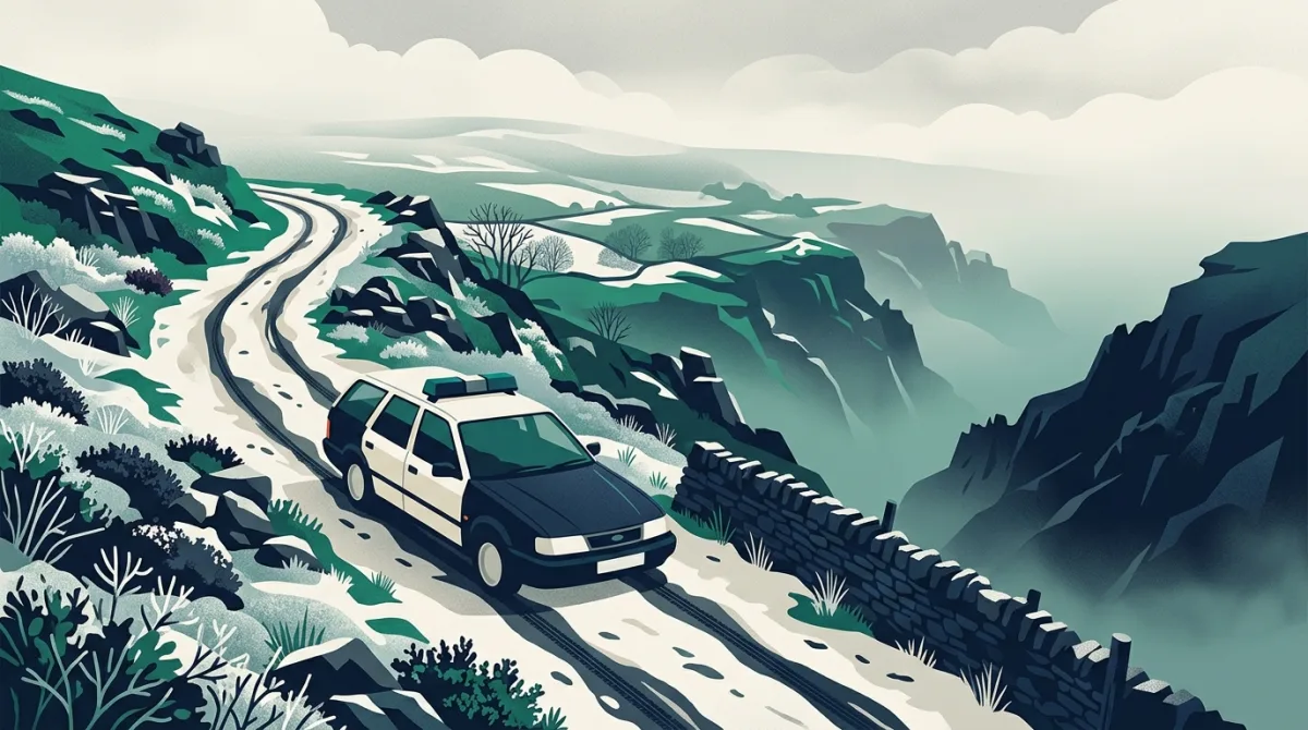
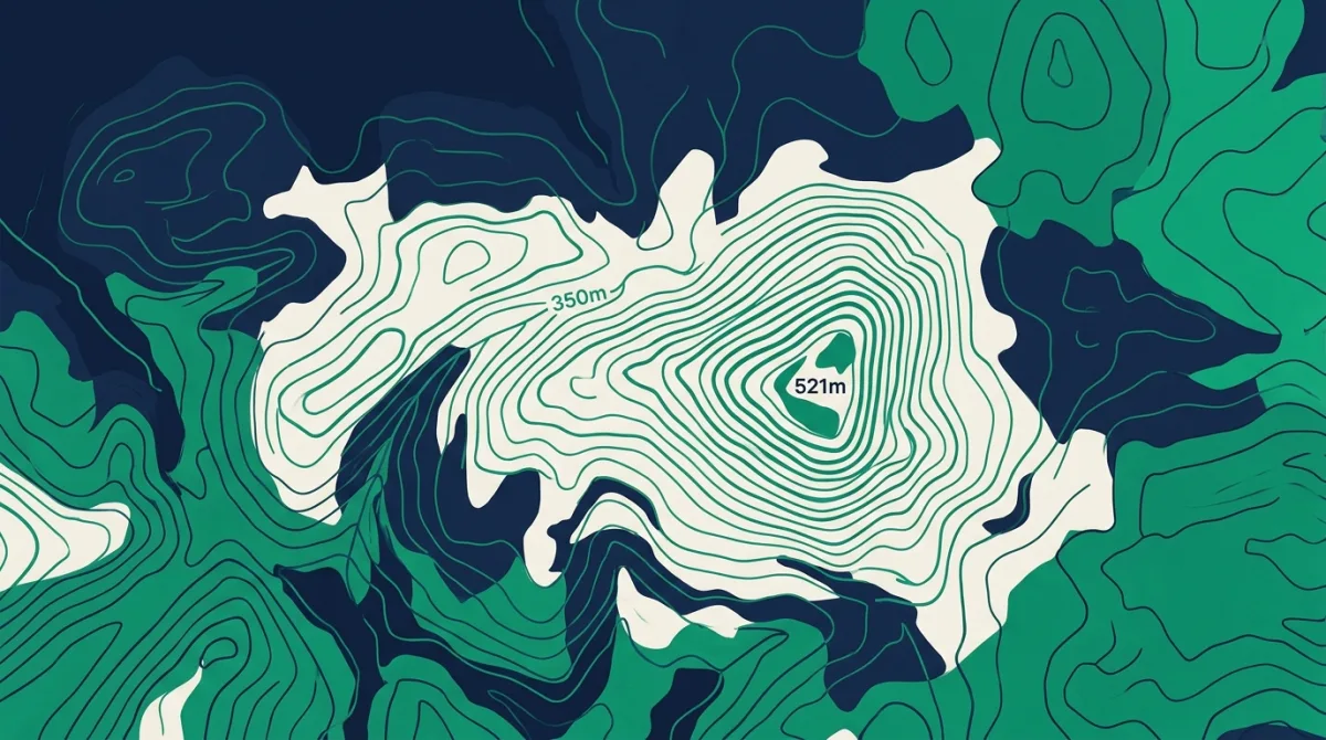
The CA9 district sits at an average elevation of 350 metres above sea level, with its highest point reaching 521 metres. That is higher than the summit of many British fells and leaves the area frequently swathed in low cloud and winter snow. Roads here twist through the North Pennines, an Area of Outstanding Natural Beauty, and the altitude means that the weather can change in minutes, closing passes and leaving communities isolated. For police officers patrolling this patch, every shift is shaped by the landscape.
How altitude affects frontline policing
In high-altitude postcodes, the same call for service presents a unique set of challenges. Narrow, unlit lanes with steep gradients can slow emergency vehicles to a crawl. A blue-light run that would take five minutes on a dual carriageway can stretch to twenty on a single-track road hugging a contour line. When a vehicle is used as a weapon, as alleged in Larkhall, the danger is magnified in such terrain; there are fewer escape routes, and losing control could mean a drop of hundreds of metres. Every officer attending an incident at altitude must be acutely aware of the topography.
Data from the CA9 district shows that the average elevation is higher than any other postcode in the UK. At peak, the ground rises to more than half a kilometre above sea level. For context, that is higher than the top of the Blackpool Tower and twice the height of the London Eye. Officers stationed in or responding to such areas are routinely equipped with four-wheel-drive vehicles and receive advanced driver training that covers off-road and low-traction conditions. The very nature of the built environment, from isolated farmsteads to remote cottages, means that backup can be a considerable distance away. A single officer could be dealing with a volatile suspect for a long stretch before colleagues arrive.
While the motive behind the Larkhall attack is still under investigation, it is worth noting that across the UK, assaults on police officers have risen in recent years. In remote districts like CA9, where the average elevation hovers at 350 metres, the physical isolation adds a layer of risk. Fog can descend suddenly, cutting visibility to a few metres, and mobile phone signal can be patchy in deep valleys. These factors make it harder to call for assistance and harder for that assistance to reach the scene.
Postcodes UK's analysis also reveals the sharp contrasts within a single county. Cumbria alone spans from sea-level coastal towns to the 521-metre summit in Alston. An officer might begin a shift dealing with a traffic stop in Carlisle, at around 30 metres, and end it on a mountain rescue call-out near the CA9 boundary. This variety demands a remarkable breadth of skill and local knowledge. What works in an urban setting is rarely transferable to the fells.
The terrain also shapes crime patterns. In hillier postcodes, vehicle-related incidents are more likely to involve agricultural machinery, and thefts often target isolated barns. The white Renault Traffic van used in the Larkhall attack is a common sight across the UK's rural roads, which makes identifying a specific vehicle more difficult. The connection between altitude and criminality is indirect, but it underscores the fact that policing is never one-sise-fits-all.
The data behind this
The elevation statistics referenced in this article come from the Postcodes UK database, which aggregates terrain models from HM Land Registry and topographical surveys. Census data from the Office for National Statistics was used to confirm the populated status of the CA9 district. All figures are the most recent available as of June 2025.
In response to reporting by BBC UK. Analysis and figures by Postcodes UK.