



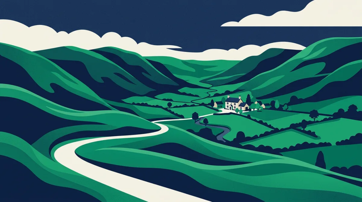
A new initiative from the Shropshire tourist board is making the 185-mile Shropshire Way far more accessible. The Rail-Ready Short Breaks series carves the long-distance trail into weekend loops that start and finish at railway stations, complete with downloadable maps and accommodation tips. One standout itinerary is a 27-mile hike from Shrewsbury to Bishop's Castle via Ratlinghope, designed to be comfortably walked over two days.
The route winds through the Heart of the Hills, taking in fine scenery, historic market towns and some exceptionally well-placed pubs. A recent Guardian Travel feature described the simple pleasure of emerging from woodland after a 15-mile day to find The Bridges pub on the banks of the River Onny, its converted stables offering a warm bed for the night. It is an enticing vision of slow travel through one of England's most underrated landscapes.
Elevation and the postcode lens
| District | Post town | Region | Avg elevation |
|---|---|---|---|
| EN77 | Waltham Cross | 0m | |
| GY1 | 0m | ||
| GY2 | 0m | ||
| GY3 | 0m | ||
| GY4 | 0m | ||
| GY5 | 0m | ||
| GY6 | 0m | ||
| GY7 | 0m | ||
| GY8 | 0m | ||
| GY9 | 0m |
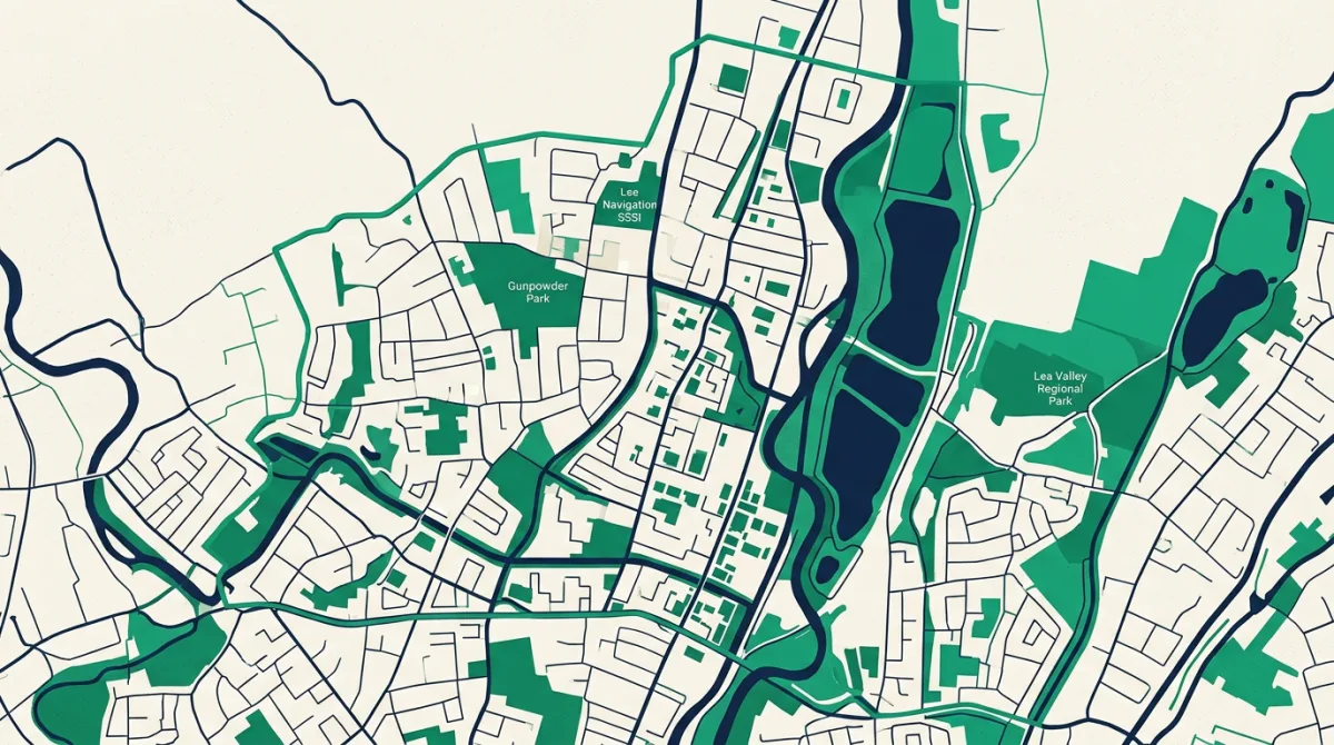
While walkers on the Shropshire Way tackle airy ridgelines and steep climbs, postcode data reminds us that Britain's topography has dramatic lows as well as highs. The lowest-lying postcode district in the country is EN77, covering part of Waltham Cross in Hertfordshire. According to Postcodes UK figures, this district records an average elevation of 0 metres above sea level, and its highest point also reaches only 0 metres. That means the entire postcode area sits precisely at sea level, a pancake-flat expanse utterly removed from the rolling Shropshire hills.
Such a stark contrast highlights how postcode geography can frame our understanding of a place. For anyone planning a walking holiday, knowing the elevation profile of your destination postcode can be just as useful as checking the weather forecast. Whether you are scaling the Long Mynd or strolling beside the Lea Navigation, the numbers behind a postcode tell a quiet story of the land beneath your feet.
The data behind this
The elevation statistics for postcode district EN77 are sourced from Postcodes UK's own topographic dataset, which analyses terrain heights across every postcode district in Britain. No other external datasets were used in this analysis.
In response to reporting by Guardian Travel. Analysis and figures by Postcodes UK.