



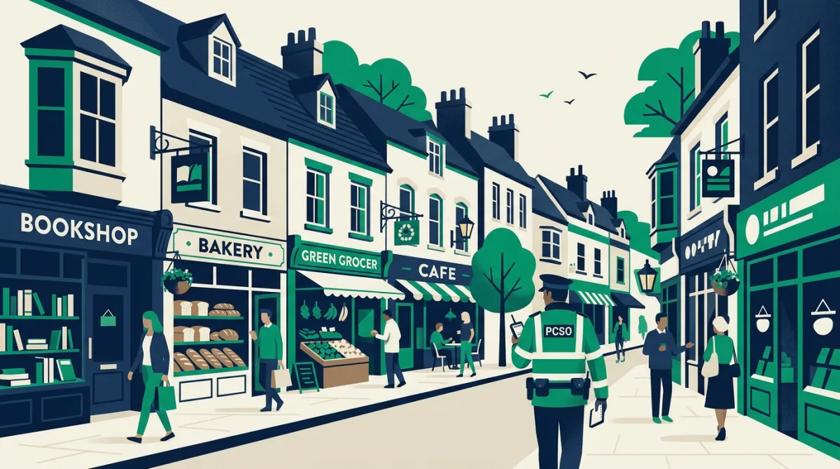
West Midlands Police recently seised more than 50,000 illegal cigarettes from a shop on a high street they described as "lawless". The operation highlights the ongoing battle against illicit tobacco sales, which undermine legitimate businesses and pose serious health risks to the public.
Such discoveries are not isolated. Across the UK, high streets face pressures from illegal trade, antisocial behaviour, and economic decline. While this particular raid took place in the West Midlands, the challenges are familiar to town centres nationwide. To understand the fabric of a community that a high street serves, we can turn to detailed postcode data.
A postcode perspective: BA16 in Street
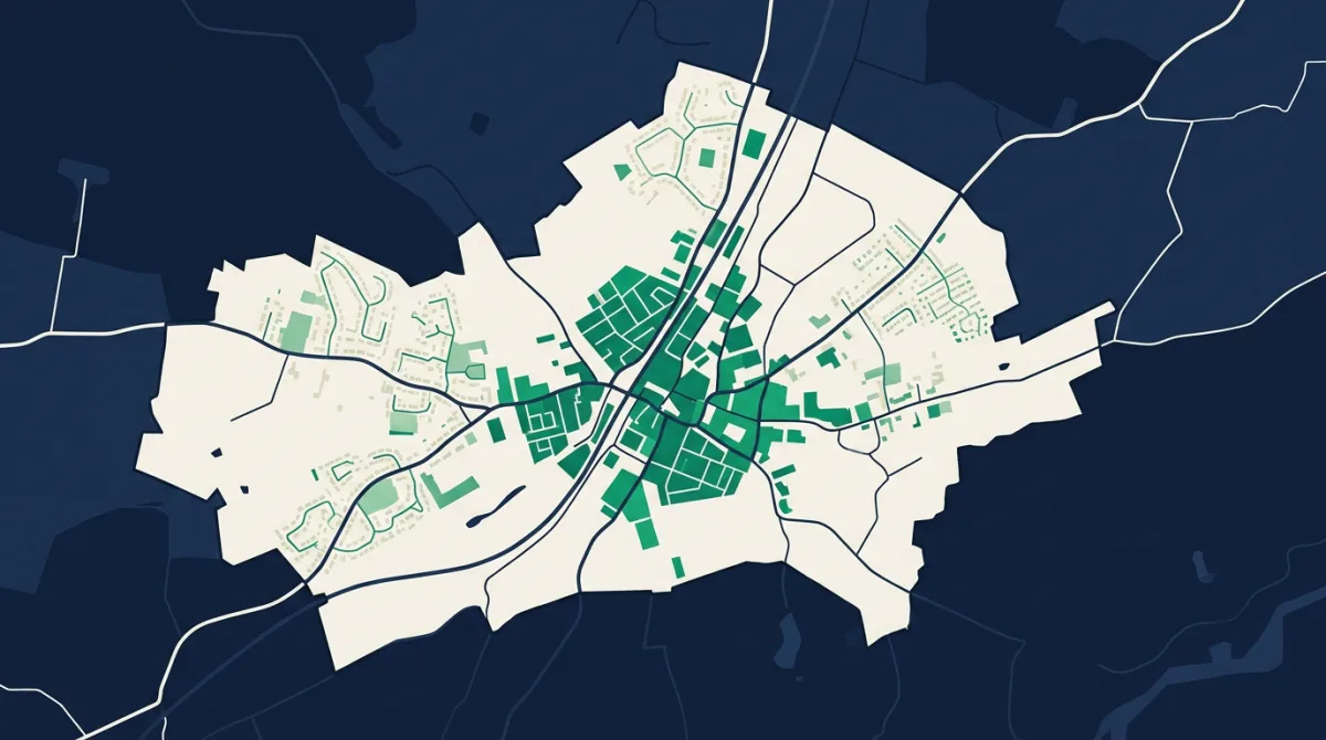
| An example postcode district in Street | |
|---|---|
| Postcode district | BA16 |
| County | Somerset |
| Region | South West |
| Population (BA16) | 13,986 |
| Households | 5,259 |
| Elevation | about 22m above sea level (up to 57m) |
| Built-up area | 4 km² |
What the numbers mean for high streets
The postcode district BA16 covers the town of Street in Somerset and is home to 13,986 people. Sitting at about 22 metres above sea level, this low-lying area is typical of many market towns where the high street acts as a commercial and social hub. The full data table above breaks down key statistics for the district, offering a snapshot of the local population and built environment.
When a high street serves a tightly knit district of nearly 14,000 residents, the impact of illicit trade can be felt quickly. Illegal cigarette sales not only deprive the Treasury of revenue but also draw other forms of low-level criminality, eroding the sense of safety that keeps footfall healthy. Understanding the density, housing mix, and demographic profile of a postcode like BA16 helps councils and police forces decide where to focus resources. A compact, well-populated district may need more visible patrols and regular compliance checks on retail premises, while a more dispersed area might require different tactics.
Postcode data also reveals how a high street fits into its wider geography. Elevation and area sise, for instance, can influence how easily illicit goods are moved in and out. The figures for BA16, combined with local intelligence, form part of the picture that authorities use to tackle the kind of lawlessness seen in the recent West Midlands case.
The data behind this
All figures cited are sourced from Postcodes UK, which collates official statistics for every postcode district in the country. The population count and elevation for BA16 come directly from this dataset.
In response to reporting by BBC England. Analysis and figures by Postcodes UK.