
Postcodes UK
Fun & Games Rankings Glossary Tartans Blog
/

Nations

  • England flagEngland
  • Scotland flagScotland
  • Wales flagWales
  • Northern Ireland flagN. Ireland
  • United Kingdom flagUnited Kingdom

Popular counties

  • Devon
  • Somerset
  • Cornwall
  • Kent
  • North Yorkshire
  • Shropshire
  • Highland
  • Lincolnshire
  • Cumbria
  • Norfolk
  • Hampshire
  • Gloucestershire

Major cities

  • London
  • Birmingham
  • Manchester
  • Leeds
  • Glasgow
  • Liverpool
  • Bristol
  • Sheffield

Postcode areas

Browse all 124 postcode areas →
  • CR0Croydon
  • LE2Leicester
  • E17London
  • LE4Leicester
  • LE3Leicester
  • E14London
  • LE5Leicester
  • BN2Brighton
  • CV6Coventry
  • NW10London
1.8M postcodes 43,000 towns & villages 7.9M property sales 30,000 schools

Postcode lookup

  • What's My Postcode
  • What County Is My Postcode
  • Postcode District Lookup
  • Postcode Area Explorer
  • Postcode to Lat/Long
  • Bulk Postcode Lookup
  • Compare Two Postcodes
  • Random Postcode Generator
  • Postcode Radius Finder
  • Postcode Area Report
  • Area Profile Generator

Property & home

  • House Prices by Postcode
  • Council Tax Band Checker
  • Stamp Duty Calculator
  • What Can I Afford
  • Planning Constraints Checker
  • House Number Sign Maker
  • Postcode Plate Maker

Local & nearby

  • Nearest GP Surgery
  • School Catchment Finder
  • Will You Get In? School Admission Chances
  • Food Hygiene Ratings
  • Nearest Bus Stops
  • Nearest EV Charging Points
  • Road Accidents Near You
  • Find My Constituency
  • Train Station Explorer
  • Famous People Near You

Maps & elevation

  • Postcode Distance Calculator
  • Drive Time Calculator
  • Midpoint Finder
  • UK County Explorer
  • How Big Is My Town?
  • Geography Explorer
  • Postcode Elevation Lookup
  • Compare Postcode Elevations
  • Highest & Lowest UK Postcodes
  • Sea Level Rise Postcode Checker
  • Postcode Density Checker

More tools

  • Cheapest Places to Live Finder
  • Crime Rate by Postcode
41 free tools 254 glossary terms New: Postcode Plate Maker → View all tools → Glossary →

Press Enter to search for postcodes, places, or streets

Search postcodes, places...
England flagEngland Scotland flagScotland Wales flagWales Northern Ireland flagN. Ireland United Kingdom flagUnited Kingdom
Browse all postcode areas

Popular counties

Devon Somerset Cornwall Kent North Yorkshire Shropshire

Major cities

London Birmingham Manchester Leeds Glasgow Liverpool Bristol Sheffield

Postcode lookup

  • What's My Postcode
  • What County Is My Postcode
  • Postcode District Lookup
  • Postcode Area Explorer
  • Postcode to Lat/Long
  • Bulk Postcode Lookup
  • Compare Two Postcodes
  • Random Postcode Generator
  • Postcode Radius Finder
  • Postcode Area Report
  • Area Profile Generator

Property & home

  • House Prices by Postcode
  • Council Tax Band Checker
  • Stamp Duty Calculator
  • What Can I Afford
  • Planning Constraints Checker
  • House Number Sign Maker
  • Postcode Plate Maker

Local & nearby

  • Nearest GP Surgery
  • School Catchment Finder
  • Will You Get In? School Admission Chances
  • Food Hygiene Ratings
  • Nearest Bus Stops
  • Nearest EV Charging Points
  • Road Accidents Near You
  • Find My Constituency
  • Train Station Explorer
  • Famous People Near You

Maps & elevation

  • Postcode Distance Calculator
  • Drive Time Calculator
  • Midpoint Finder
  • UK County Explorer
  • How Big Is My Town?
  • Geography Explorer
  • Postcode Elevation Lookup
  • Compare Postcode Elevations
  • Highest & Lowest UK Postcodes
  • Sea Level Rise Postcode Checker
  • Postcode Density Checker

More tools

  • Cheapest Places to Live Finder
  • Crime Rate by Postcode
New: Postcode Plate Maker View all tools →
Fun & Games UK Rankings Glossary 254 New: Postcode Tartans Blog
HomeBlog

Blog

News, guides and insights about UK postcodes, places and our tools

Browse our free image gallery →

220 Articles
Council silenced over seaside asylum plans as remote postcode data reveals elevation extremes
News 26 Sep 2026

Council silenced over seaside asylum plans as remote postcode data reveals elevation extremes

Councillors in a seaside town were informed of plans to house asylum seekers but prohibited from discussing them publicly. While that debate unfolds, Postcodes UK data shows the highest postcode district, CA9, reaches an average elevation of 350 metres and a peak of 521 metres, highlighting the diverse landscapes where accommodation decisions are made.

Read More

How Pollok House's Sonica festival links to Glasgow's G1 postcode data
News 25 Sep 2026

How Pollok House's Sonica festival links to Glasgow's G1 postcode data

The Georgian mansion Pollok House reopens for Sonica festival, offering contemporary art. We examine how Glasgow's G1 postcode district provides a snapshot of the city's urban character.

Read More
Orkney island’s first baby in decades meets Sheffield’s youngest postcode
News 24 Sep 2026

Orkney island’s first baby in decades meets Sheffield’s youngest postcode

The arrival of baby Duncan on a remote Orkney island contrasts sharply with the data from S98, a Sheffield postcode district where nearly a third of residents are children.

Read More
Scotland’s council map shake-up prompts a look at Britain’s largest built-up area
News 23 Sep 2026

Scotland’s council map shake-up prompts a look at Britain’s largest built-up area

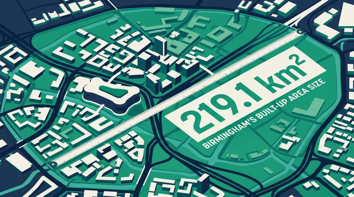
Proposals to redraw Scotland’s council map have drawn a wary response from local leaders, while over 250 miles south, Birmingham’s vast urban footprint of 219.1 square kilometres offers a striking example of the scale challenges faced by any local authority restructure.

Read More
New Bradford trail turns spotlight on the district’s upland character - what BD5 reveals
News 22 Sep 2026

New Bradford trail turns spotlight on the district’s upland character - what BD5 reveals

A new walking trail connecting Ilkley, Saltaire and Haworth aims to change perceptions of Bradford. Postcode district BD5, with its population of 30,853 and elevation of 162m, offers a data-driven glimpse of the area.

Read More
Overseas buyers turn to mortgages: the W1K data angle
News 21 Sep 2026

Overseas buyers turn to mortgages: the W1K data angle

Wealthy overseas buyers are choosing to borrow for luxury property. The priciest postcode district in our data, W1K, averages £2,315,856.

Read More
Previous
1 2 3 4 5 6 7 … 37
Next

Postcode of the Day

We put a different UK postcode under the microscope every day at 12:30, and post every new data study as it lands.

Follow on Facebook
Search
Image Gallery

Original illustrations from our data studies, free to use. Download any, we just ask for a link back.

Browse the gallery →
Categories
  • Announcements 1
  • Data 8
  • Data Studies 18
  • Guides 2
  • News 138
  • Places 24
  • Postcode Data 7
  • Property 16
  • UK Geography 6
Recent Posts
Silverdale tremors: how a village’s quakes compare to Britain’s largest built-up area Silverdale tremors: how a village’s quakes compare to Britain’s largest built-up area 14 Oct 2026 Lowest lying postcode district EN77 sits at 0m as east coast homes are lost Lowest lying postcode district EN77 sits at 0m as east coast homes are lost 13 Oct 2026 Lundy's drought and the postcode district that sits entirely at sea level Lundy's drought and the postcode district that sits entirely at sea level 12 Oct 2026 Healing heights: CA9 Alston as a restorative autumn escape Healing heights: CA9 Alston as a restorative autumn escape 11 Oct 2026 Tortoise density: how 180,000 giants compare to Birmingham's postcode area Tortoise density: how 180,000 giants compare to Birmingham's postcode area 10 Oct 2026 Birmingham tops built-up area ranking as Derry firm acquires NCP car parks Birmingham tops built-up area ranking as Derry firm acquires NCP car parks 9 Oct 2026
Your brand on every page of Postcodes UKGold sponsorship puts you site-wide, in front of every visitor at the moment they are moving or buying.
Become a sponsor →
Advertise with us
Silver slotYour brand hereBronze slotYour brand here
All sponsorship options →
PostcodesUK

A free, comprehensive directory of every UK postcode, with property prices, schools, deprivation, transport and local data drawn from trusted official sources.

1.8M postcodes 7.9M property sales 254 glossary terms
Follow us on Facebook

Explore

  • England
  • Scotland
  • Wales
  • Northern Ireland

Popular Tools

  • What's My Postcode
  • House Prices by Postcode
  • Compare Two Postcodes
  • School Catchment Finder
  • Nearest GP Surgery
  • View all tools →

Reference

  • Postcode Areas
  • Glossary
  • Police Stations
  • Hospitals
  • Data Downloads
  • Teaching Resources
  • Blog
  • Change Log

Company

  • About Us
  • Contact
  • Sponsor Us
  • Privacy Policy
  • Cookie Preferences

Data & attributions

This site is built on open public data. We are grateful to the following sources and acknowledge their work.

  • Office for National StatisticsPostcodes, census & geographyOGL v3.0
  • HM Land RegistryPrice Paid DataOGL · Crown ©
  • OpenStreetMapEV chargers & mappingODbL
  • NHSGP & health organisationsOGL
  • Food Standards AgencyFood hygiene ratingsOGL
  • Department for EducationSchools (GIAS)OGL
  • OfstedInspection ratingsOGL
  • National Records of ScotlandScotland censusOGL
  • NISRANorthern Ireland censusOGL
  • Police.uk & Home OfficeCrime dataOGL
  • Ordnance SurveyGrid referencesOGL · OS OpenData
  • Department for TransportTransport & road safetyOGL
  • Scottish & Welsh GovernmentsSIMD & WIMD deprivationOGL
© 2026 Postcodesuk.com. All rights reserved.
Contains public sector information licensed under the Open Government Licence v3.0. Postcode and geographic data © Crown copyright and database right. Map data © OpenStreetMap contributors, licensed under the ODbL.
We value your privacy

We use analytics cookies (Google Analytics and Microsoft Clarity) to understand how the site is used so we can make it better. Cookies needed to run the site are always on. You can accept or reject analytics. See our privacy policy.

Like what you see?

We put a different UK postcode under the microscope every day at 12:30, and post every new data study as it lands. Follow along on Facebook.

Follow on Facebook