



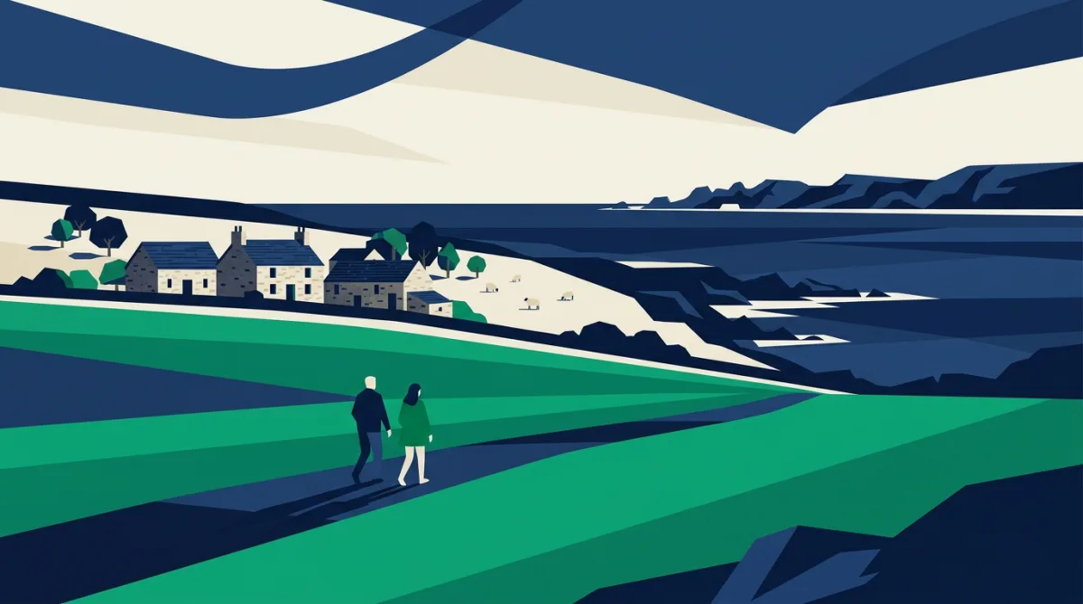
Gwyndaf Hughes and Georgina Rannard have taken a leap that many people only daydream about, trading ordinary routines for a working life on a remote Welsh island. They grabbed the chance for a career break rather than a permanent goodbye to their previous work. The pair describe the move as slightly mad, but also as a rare opportunity to press pause and learn the rhythms of an isolated farm and landscape.
Their new home is presented as unique, with daily tasks shaped by weather, tides and livestock rather than commutes or office hours. The BBC Wales report focuses on the couple's decision to embrace uncertainty for the sake of a more direct connection to place, community and the natural environment. The island is presented as somewhere the ordinary pressures of modern life feel distant.
A postcode view of elbow room
| District | Post town | Region | Homes per postcode |
|---|---|---|---|
| W1U | London | London | 2.7 |
| LS1 | Leeds | Yorkshire and The Humber | 4.1 |
| BT92 | Enniskillen | Northern Ireland | 4.2 |
| BT93 | Enniskillen | Northern Ireland | 4.2 |
| W1H | London | London | 4.7 |
| DL11 | Richmond | Yorkshire and The Humber | 4.9 |
| SA19 | Llandeilo, Llangadog, Llanwrda | Wales | 5.1 |
| NE47 | Hexham | North East | 5.5 |
| DY14 | Kidderminster | West Midlands | 5.6 |
| LA22 | Ambleside | North West | 5.7 |
When thinking about remoteness, a natural question is how many households tend to share a single postcode. The measure gives a rough sense of how many separate homes are grouped under one sorting code, which can shape delivery rounds, service planning and local data work. This can be especially useful where homes are scattered, because the number of households attached to each code affects how routes and records are organised.
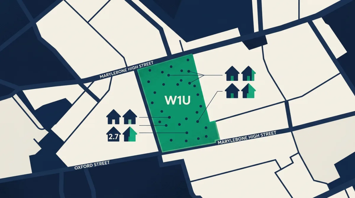
For one example district, W1U in London, the figure is about 2.7 households sharing each postcode. This is the least crowded postcode district in the supplied dataset, but it is important not to treat that as a description of London as a whole. It is a single district-level observation, useful for comparison rather than as a stand-in for the wider capital. It is one row in a wider table, so any statement about density should stay at district level.
What this means beside the story
An island farm may feel entirely different from a central London postcode, yet the two prompt the same practical question: how fine-grained is the postal geography? In a sparsely populated island setting, a single postcode might cover a small number of homes across a large area, while an urban district like W1U can have relatively few households per postcode despite sitting within a busy city. The comparison works only when the unit is the same: households per postcode, not households per square mile. That distinction is essential when using postal geography to talk about isolation or remoteness.
The couple's move is about more than statistics, but postcode structures still matter for rural life. Postcodes influence emergency response, delivery access and how new residents register for services. A clear view of household-per-postcode density helps data users spot places where each code may point to only a handful of homes.
The data behind this
The household-per-postcode figure for W1U comes from Postcodes UK analysis of postcode and household counts. The example shows about 2.7 households sharing each postcode in that district, based on the supplied data table. No other postcode districts or statistics are included in this piece.
In response to reporting by BBC Wales. Analysis and figures by Postcodes UK.