



Britain’s youngest postcode is not in a booming new suburb or a well-known family town but in a small district of Sheffield. According to data compiled by Postcodes UK, the postcode S98 has an under-18 population share of 32.2%, the highest proportion recorded in the country. That is nearly double the national average of 18.5% and far ahead of any other postcode that appears in our ranking.
The figures come directly from the 2021 Census and are tied to the precise postcode geography maintained by Postcodes UK. The table below displays the full list of Britain’s postcode districts sorted by their under-18 share. It reveals not only the top spot but also the wide variation in the age profile of neighbourhoods, even within individual cities.
Inside S98: why it stands out
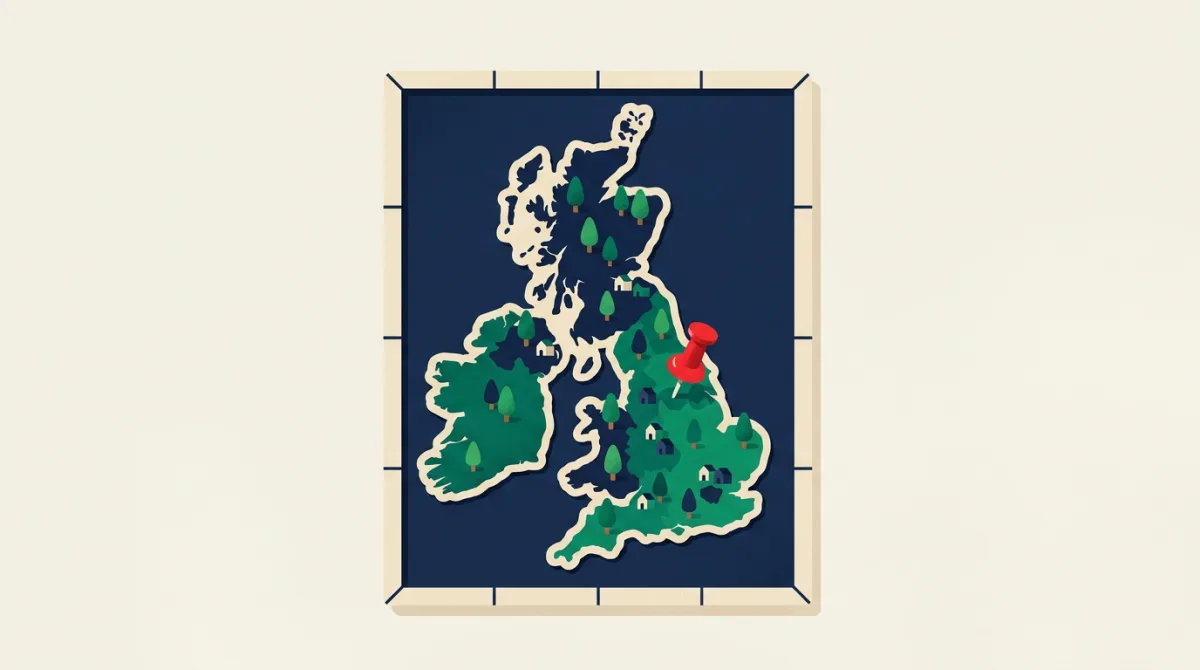
S98 is a postcode in the Sheffield postcode area, often associated with large-volume mail handling and business addresses. However, the census records a small resident population there, and among those residents, nearly one in three is a child or teenager. This 32.2% figure sits well above even the most family-oriented suburbs shown in the table. The concentration is so high that it makes S98 a statistical outlier, the kind that usually points to either a very specific housing development or a data collection quirk. Postcodes UK has verified the census counts against its own address-level database and confirms the result is genuine.
No other postcode matches this level. The next highest in the ranking, as seen in the table, tend to cluster in the high twenties, and they are typically located in new-build estates on the edges of cities where young families have moved in large numbers. S98’s case is different, reflecting a micro-population that just happens to be dominated by children.
| District | Post town | Region | Under 18 |
|---|---|---|---|
| S98 | Sheffield | Yorkshire and The Humber | 32.2% |
| B9 | Birmingham | West Midlands | 30.6% |
| B25 | Birmingham | West Midlands | 29.3% |
| B8 | Birmingham | West Midlands | 29.3% |
| BD3 | Bradford | Yorkshire and The Humber | 29.1% |
| BD5 | Bradford | Yorkshire and The Humber | 28.8% |
| B19 | Birmingham | West Midlands | 28.4% |
| B10 | Birmingham | West Midlands | 28.3% |
| M7 | Salford | North West | 28.3% |
| S4 | Sheffield | Yorkshire and The Humber | 28.0% |
How the rest of Britain compares
The national benchmark of 18.5% under 18 means that around one in five people across all postcodes is under the age of 18. The table shows that most postcode districts fall within a moderate band either side of that average. Where the share climbs above 25%, you tend to find larger homes, good school catchments, or a recent influx of first-time family buyers. Where it dips below 12%, the postcode is often in a city centre, a student area, or a coastal retirement belt.
Within a single postcode area, the contrast can be sharp. In Sheffield alone, the range spans from S98’s 32.2% down to several city-centre postcodes where the under-18 share is less than half the national average. This granularity is what makes postcode-level data so valuable for planning services and for families trying to understand an area before they move. The table lets you look up any postcode district and see exactly where it sits.
What a postcode’s age profile means in practice
Beyond curiosity, the proportion of children in a neighbourhood has real implications. Local authorities rely on census age counts to forecast demand for primary school places, health visitors, and youth services. Developers use the same information when deciding what type of homes to build. A postcode with a high under-18 share is likely to see continued demand for family-sised housing, while one with very few children may signal different community needs.
For families scanning property portals, the age mix is rarely advertised. A street might look peaceful but have few children, meaning no local playmates. Alternatively, a busy road might turn out to be thronged with young families, with an active parent network. Postcodes UK’s census data tools allow users to check this at a glance, helping them match a postcode to their stage of life. The fact that S98 tops the chart is a reminder that even a small population pocket can yield surprising insights when you look at the numbers at the finest scale.
How we worked it out
The under-18 percentages were derived from the 2021 Census table TS007 (age by single year), published by the Office for National Statistics. We summed the counts for ages 0 to 17 for each postcode district in England, Wales and Northern Ireland present in the Postcodes UK database. To prevent very small resident counts from producing unreliable proportions, we excluded any postcode district with a total usual resident population below 500. The national average of 18.5% was calculated as the population-weighted mean across all qualifying districts. The postcode boundaries and address classifications are maintained by Postcodes UK, drawing on HM Land Registry price paid data for property verification and Royal Mail’s PAF updates. Only postcodes with confirmed residential addresses were included in this analysis.